Library Collection Maps
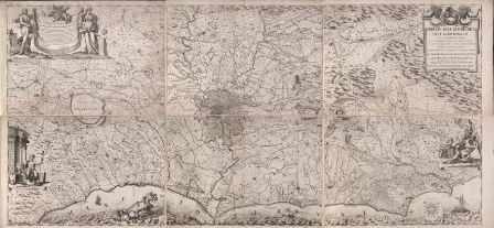
The BSR Library holds a collection of printed maps of Rome and Italy, from the 16th to the 19th centuries, some of which certainly came from the Library of Thomas Ashby.
The whole collection has been catalogued and is available on the URBiS on-line catalogue.
A selection of the most significant maps of Rome is available here and also forms part of the Bibliotheca Hertziana’s project, CIPRO (Illustrated Catalogue of the Maps of Rome Online).